JACKS FORK RIVER TRIPS
Jacks Fork River Trip Distances
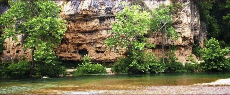
A higher level of canoeing skill is required to navigate the crystal-clear waters on the upper Jacks Fork above Alley Springs. If you begin your adventure where the river begins, at The Prongs, you’ll cascade through endless mountains and valleys for approximately 44-miles until you reach your journey’s conclusion at the confluence of the Jack’s Fork and Current Rivers—Two Rivers Canoe Rental and General Store.
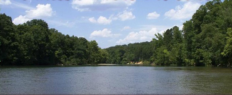
While both rivers are accessible year round, we recommend floating the upper Jacks Fork before mid-May. During the summer months, the water levels are too low for thorough enjoyment of the upper-river trek. But paddlers with any skill level will experience an incredible float from Alley Springs to Two Rivers all year long.
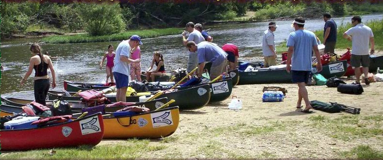
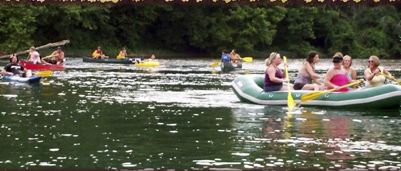
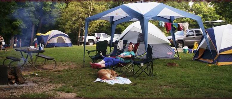
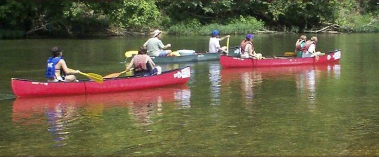
Shorter excursions are also available. Spend an hour, spend the day, or spend an entire week camping and experience the mystique of the Jacks Fork River.
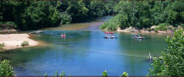
YEAR-ROUND ADVENTURES
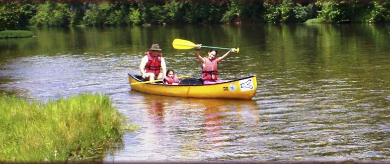
Spring and summer months are spectacular. The beautiful autumn colors peak in mid-October, and wintertime floats are amazing, especially when snow completely covers the ground. As you journey down-river, rare plants, spectacular caves, steep bluffs, and hidden coves will captivate your imagination. You’ll find breathtaking scenery that is alive with deer, turkey, raccoons, and other wildlife. If you look closely, you may even catch a glimpse of a Bald Eagle or the wild horses that roam freely along the river. You won’t want to forget your camera on this picturesque adventure.
The Jacks Fork offers world-renowned fishing year round. Catch everything from Goggle Eye and Perch to Small Mouth Bass.
HOW THE JACKS FORK GOT ITS NAME
Later settlers named the Jacks Fork River. According to local legend, it was named after a Shawnee Indian (nicknamed Captain Jack) who camped along the river with his tribe. However, some found that story a little bland and boring, so they embellished it a bit. Read “The Legend of Captain Jack”

| Jacks Fork River Trips |
| Put in above Two Rivers and float back to our headquarters |
| |
| From The Prongs to Two Rivers . . . . . . . . . . . . . . . . . . . . . . . |
44-Miles |
| From 17 Bridge (at Buck Hollow) to Two Rivers . . . . . . . . . . . |
38-Miles |
| From Bay Creek to Two Rivers . . . . . . . . . . . . . . . . . . . . . . . . |
22-Miles |
| From Alley Spring to Two Rivers . . . . . . . . . . . . . . . . . . . . . . . |
14-Miles |
| From Eminence Bridge to Two Rivers. . . . . . . . . . . . . . . . . . . . |
8-Miles |
| From Shawnee Creek to Two Rivers . . . . . . . . . . . . . . . . . . . . |
3-Miles |
| |
|
| Jacks Fork River Trips |
| Put in and take out above Two Rivers |
| |
| From The Prongs to Alley Spring . . . . . . . . . . . . . . . . . . . . . . . |
30-Miles |
| From 17 Bridge to Alley Spring . . . . . . . . . . . . . . . . . . . . . . . . |
24-Miles |
| From 17 Bridge to Eminence . . . . . . . . . . . . . . . . . . . . . . . . . . |
30-Miles |
| From Bay Creek to Alley Spring . . . . . . . . . . . . . . . . . . . . . . . |
7-Miles |
| From Bay Creek to Eminence . . . . . . . . . . . . . . . . . . . . . . . . . |
14-Miles |
| From Alley Springs to Eminence . . . . . . . . . . . . . . . . . . . . . . . |
8-Miles |
| |
|
Download Our Two Rivers Area Float Trip Map
Jacks Fork River Data from the National Park Service
Return to Top of Page
65466 Eminence, Missouri Weather Forecast
|